
As global tensions occasionally dominate international headlines, some Americans have begun asking a difficult question: if a large-scale global conflict ever escalated, which areas of the United States might face greater strategic risk? Defense researchers have explored this issue for decades through simulations and preparedness studies. These exercises are not forecasts of war but analytical models designed to understand how geography, infrastructure, and national defense systems might influence outcomes in extreme scenarios.
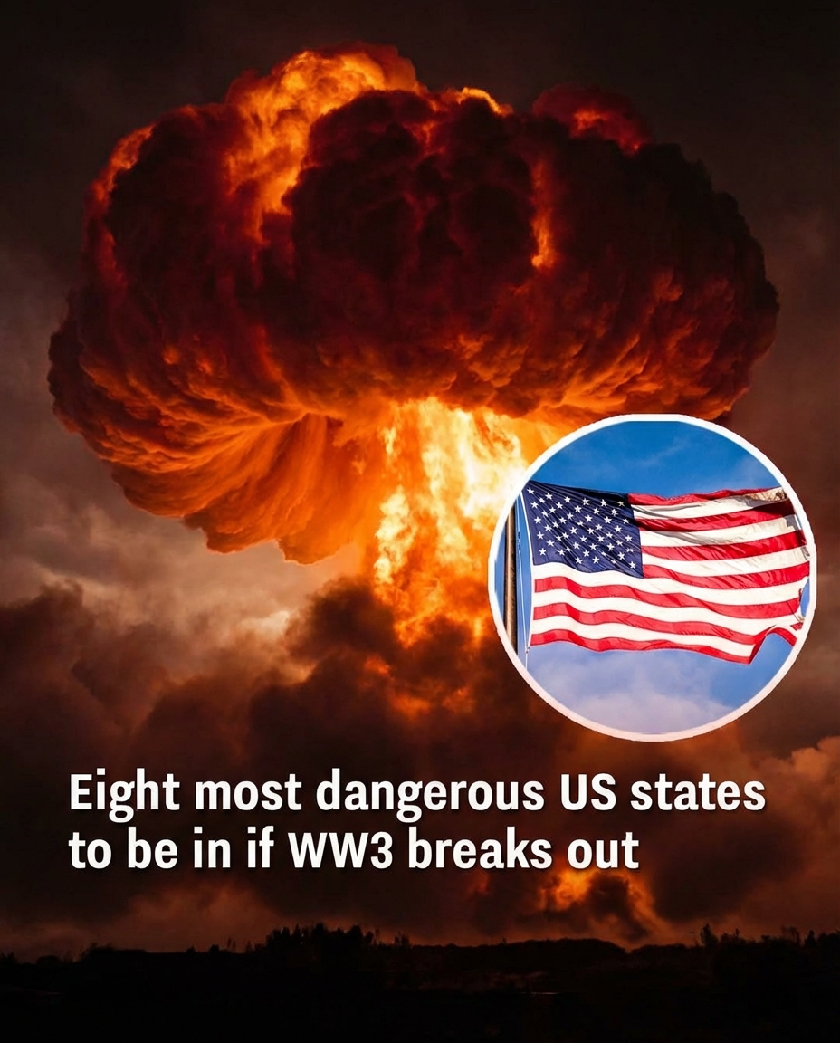
One major factor often examined is the placement of strategic military infrastructure, including Intercontinental Ballistic Missile (ICBM) silos. Several central U.S. states host these facilities as part of the country’s nuclear deterrence network. In theoretical models, regions with concentrated missile fields could be considered higher-priority targets in a nuclear exchange scenario. Studies discussing this possibility have frequently referenced states such as Montana, Wyoming, Colorado, Nebraska, North Dakota, South Dakota, Iowa, and Minnesota, largely because of the location of these defense installations rather than any current geopolitical development.
Experts consistently caution, however, that the effects of a nuclear conflict would extend far beyond specific military sites. Fallout patterns depend heavily on wind direction, weather systems, and the scale of an event. In addition to radiation risks, analysts point out that nationwide infrastructure disruption, economic instability, and environmental consequences could affect large parts of the country. For this reason, specialists often emphasize that there is no truly “safe” location in a major nuclear exchange—only areas with varying degrees of strategic importance.
In theoretical risk discussions, states with fewer major strategic military installations are sometimes described as having comparatively lower direct-target risk. Parts of the Northeast and Southeast—including Maine, New Hampshire, Vermont, Massachusetts, Rhode Island, Connecticut, New York, New Jersey, Pennsylvania, Delaware, Maryland, Virginia, West Virginia, North Carolina, South Carolina, Georgia, Florida, Alabama, Mississippi, Tennessee, Kentucky, Ohio, Indiana, and Michigan—are often mentioned in such modeling exercises. Still, these classifications remain purely analytical. Ultimately, preparedness conversations focus less on alarm and more on resilience: understanding infrastructure, emergency planning, and how communities can respond effectively during uncertain global conditions.