
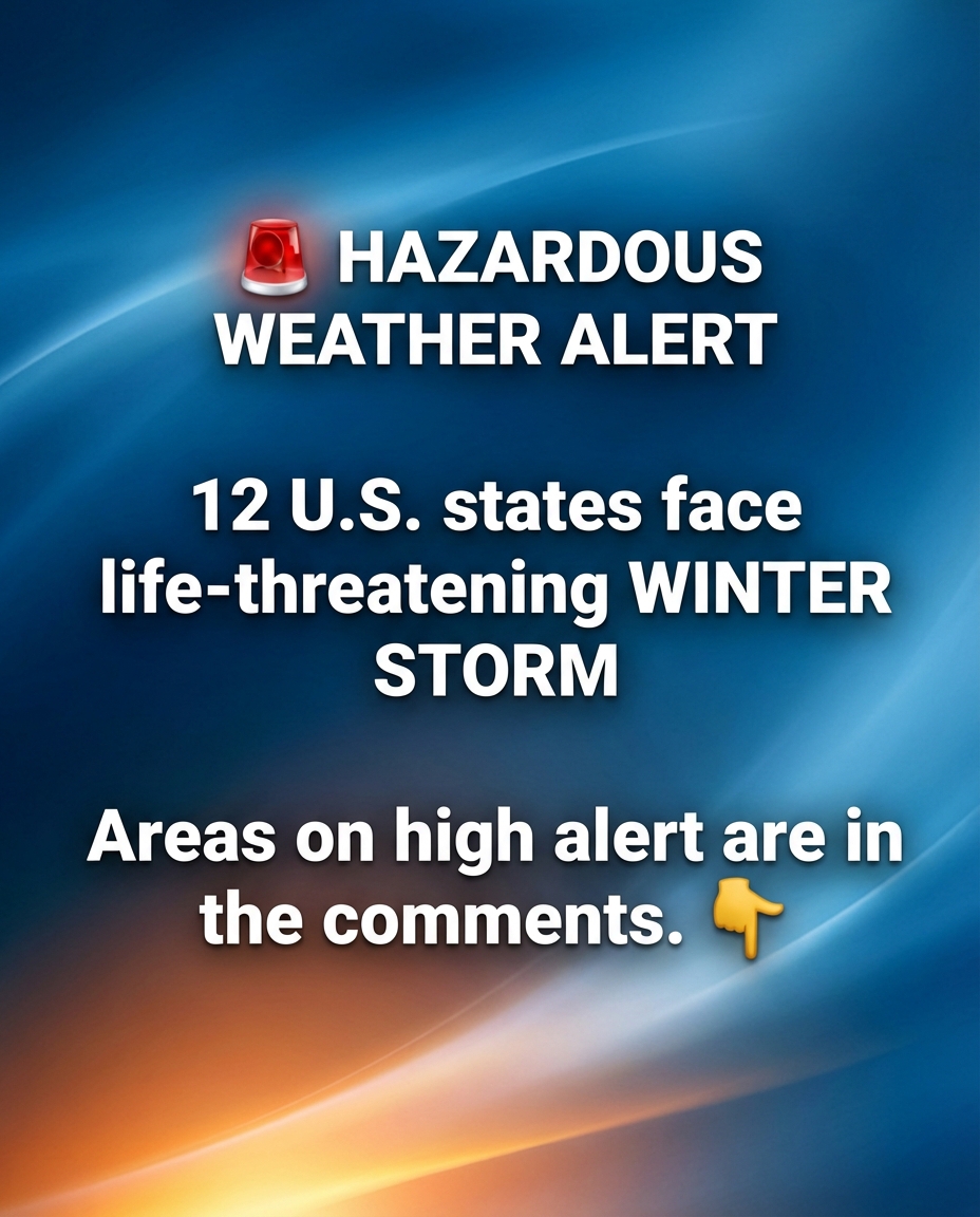
A powerful winter storm is sweeping across the Mid-Atlantic, placing parts of Maryland, Virginia, West Virginia, and Pennsylvania under heightened alert for hazardous ice conditions. Forecasters warn that freezing rain combined with gusty winds could make travel extremely dangerous, trigger power outages, and create treacherous conditions even on familiar roads. Unlike snow, ice often forms quietly, leaving roads, bridges, and sidewalks coated in a nearly invisible glaze that can catch both drivers and pedestrians by surprise.
The greatest concern centers on north-central and western Maryland, northwestern Virginia, eastern West Virginia, and central to western Pennsylvania. In these areas, moisture moving through the region is colliding with cold surface air, creating ideal conditions for ice accumulation. Emergency management officials are preparing for fallen trees, snapped branches, and vehicles sliding off roadways. Utility crews have been positioned in advance, but authorities stress that the most effective safety measure is avoiding unnecessary travel altogether.
Communities across the region are taking precautions. Airports are monitoring conditions for delays, school districts are adjusting schedules or shifting to virtual learning, and local governments are advising residents—especially in rural areas—to keep roads clear for emergency access. Residents are encouraged to prepare by charging devices, stocking essential supplies, securing outdoor items, and checking on neighbors. Those who rely on electrically powered medical equipment are urged to notify service providers and have backup plans in place.
Although the storm is expected to ease later in the week, its impact may linger. Cleanup efforts could take days as crews work to restore power and clear debris. Guidance from the National Weather Service emphasizes caution: stay off icy roads, assume all surfaces are slick, and prepare early. In the Mid-Atlantic, even a thin layer of ice can quickly escalate into widespread and dangerous conditions.